Maps of Ancient Rome
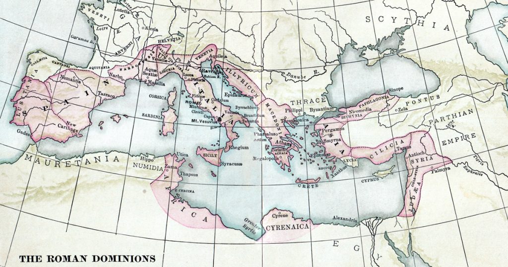
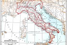
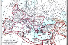
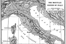
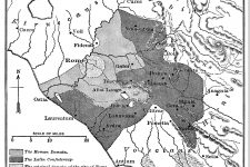
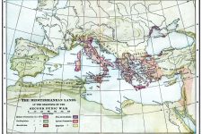
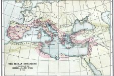
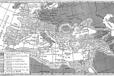
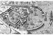
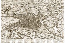
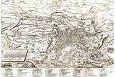
On this page are ten great drawings on Maps of Ancient Rome in color, black and white, and sepia tones. They come from a variety of old books on Roman history. Included are maps of the Roman Domain, the Port of Rome, and several images of Rome from different angles. If you are enjoying these examples of Maps of Ancient Rome, you can find more in the galleries with Roman Times Maps and other Ancient Rome Maps. Have fun exploring!
Maps of Ancient Rome 1
Maps of Ancient Rome 2
Maps of Ancient Rome 3
Maps of Ancient Rome 4
Maps of Ancient Rome 5
Maps of Ancient Rome 6
Maps of Ancient Rome 7
Maps of Ancient Rome 8
Maps of Ancient Rome 9
Maps of Ancient Rome 10
More on Maps of Ancient Rome
")
|

|

|
")
|
More Images of Maps of Ancient Rome
Related